As wildfires ravage the western United States, the City of Beverly Hills has released its most comprehensive wildfire assessment to date that provides an unflinching look at the threat posed to Beverly Hills and recommendations on how to protect the city. The report’s release was followed up with two public hearings held both in person and online.
“It is not a question of whether a wildfire will occur, but only a question of when,” the report states, pointing to the exponential rise in wildfire frequency and severity over the last few years.
By the end of 2020, California set a number of wildfire records, experiencing five of the top six largest fires in the state’s recorded history, which burned more than 4.2 million acres, razed 10,000 structures, and killed 32 people. The state is currently on pace to surpass its record, having burned twice as many acres since the same time last year.
David Shew, a wildfire risk management expert who spoke at the city hearings, said two factors play into the rapid proliferation of wildfires. Prior to the colonization of the state, wildfires were both natural and, in some cases, encouraged. Many Native American tribes practiced controlled burns to clear out underbrush and encourage new plant growth. But after the 1800s, settlers to the region focused on fire suppression, which allowed fuel to build up over time, and banned the ritualistic burns practiced by Indigenous tribes. Now, with the effects of climate change clearly felt across the globe, California is experiencing hotter and drier weather, setting the stage for the conflagrations we see today.
“Due to continuing climate change impacts, these fuels are typically drier and more susceptible to ignition for a longer period of time throughout the year than in the past,” the report says.
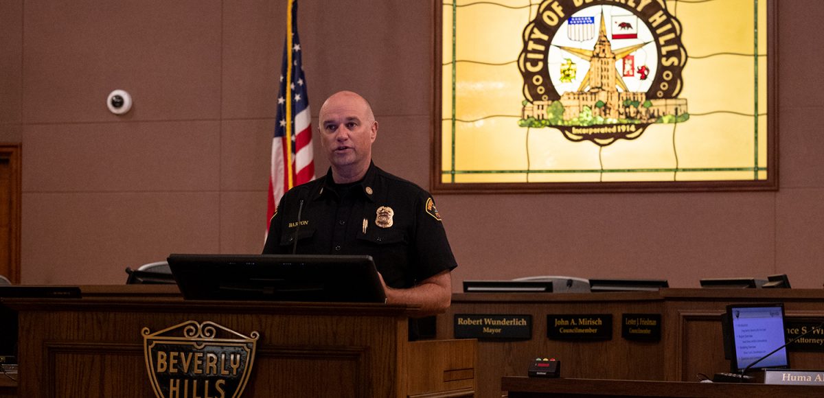
The report outlines multiple recommendations to tackle the issue but cautions that no silver bullet exists–a warning echoed by Beverly Hills Fire Department (BHFD) Chief Gregory Barton. “This isn’t a problem that the fire department can handle, it’s not a problem that the residents can handle, it’s a problem that all of us…need to come together to make work,” Barton said at Tuesday’s hearing.
Many of the report’s suggestions build on earlier mitigation and prevention efforts by the city. The report recommends strengthening the city’s Firewise USA Program, a national volunteer-based fire safety and prevention program with a chapter located in the fire-prone area north of Sunset. The report also advises the city to improve its education and information programs. It recommends the “immediate” removal of 100 trees that pose a threat to evacuation efforts in the case of a fire and the continuation of overall tree maintenance and care. Additionally, the city should establish and practice an evacuation plan, the report proposes.
The report, which was commissioned by Barton, lists topography, weather, and fuel as the three main factors in a wildfire. As the city can’t change either topography or weather, the report focuses the most on fuels.
The report also focuses largely on the most vulnerable area of the city, the neighborhoods north of Sunset, which fall in the Very High Fire Hazard Severity Zone (VHFHSZ). The steeper hillsides and deeper canyons of the area can increase the intensity of wildfires and function as wind funnels, especially during the fall Santa Anas. According to predictive models included in the report, a fire originating from Mulholland could reach the Trousdale Estates neighborhood in less than 15 minutes. At that speed, residents would have little warning and the fire department would have little time to respond defensively, highlighting the need for residents to know how to act in advance and to proactively harden their homes.
The report brings robust data to bear on the role of embers in structure fires. Based on 50,000 incidents of structure fires compiled by Cal Fire (California Department of Forestry and Fire Protection), 90% of structures ignite directly or indirectly due to embers. While anecdotal evidence for years had suggested this connection, the Cal Fire database–the only one of its kind in the world–has enabled a more scientific study of the phenomenon.
Embers can exploit myriad vulnerabilities in a building, from detritus accumulated in the gutters and on roofs, to cracks in siding or gaps along the edges of garage doors. Embers can also spark indirect ignition by lighting landscaping, outdoor furniture, wooden decks, abutting wooden fences and gates, and landscaping mulch. Once a structure catches fire, it has less than a 10% chance of surviving, the report says.
Beverly Hills has enjoyed a fairly fire-free history up to this point. The report lists the 11 largest wildfires around Beverly Hills since 1929, with the most destructive being the 1961 Bel Air/Brentwood fire that burned 6,152 acres.
Another factor that has played into the lack of wildfires in Beverly Hills: luck. On the evening of Jan. 9 of this year, a fire broke out in a home on Beverly Drive. By the time firefighters arrived, the structure was “totally involved,” igniting nearby palm trees which showered embers on the area. But wind conditions were low, and “under even modest wind conditions, the outcome may have been far different.”
Beverly Hills also boasts an elite fire department that ranks among the 1 percent of fire departments in the nation to have earned a Class 1 Public Protection Classification rating by the Insurance Services Office (ISO). The designation means that the department demonstrates quick response times and a high level of risk mitigation. The rating gets factored into fire insurance premiums by insurance companies.
The neighborhoods north of Sunset have taken fire prevention seriously for years. In 2005, following the devastating 2003 Cedar Fire in San Diego, the area became recognized as a Firewise USA site, part of the National Firewise Communities Program. Recognition as an official site requires development of an action plan and fire risk mitigation efforts on the level of individual households within the site.
The site covers 1,650 parcels and about 1,535 residential structures. Over the last 15 years, residents of the area have put in more than $250,000 in time and other costs devoted to reducing wildfire risk around their homes, although the report says that the real figure is likely higher.
While a previous report authored by Wildfire Consultant David Kerr in 2018 identified over 2,000 trees north of Sunset as high risk to spread fire and recommended the city develop a plan to replace them with more fire resilient species, the newest report scales that number back to 100. The report’s concern with the trees stems less from the risk of propagating fire than from the chance that the trees could somehow block evacuation routes during an emergency.
Beyond the 100 trees flagged for removal “in the immediate future,” the report recommends phasing out the hundreds of pines, eucalyptus, acacia, and cypress north of Sunset, maintaining them until the end of their natural lifespan. At that point, the city should replace them with fire resistant trees like oaks, the report says.
While the report acknowledges the accomplishment of the city’s Firewise USA site, it makes suggestions to improve the program, such as dividing the site up into multiple, smaller sites to facilitate better neighborhood coordination, engagement, and even encourage competition between the different sites. The report also recommends making the online Firewise resources more easily discoverable and folding in other resources into the website.
The report places a large emphasis on preventing structure fires, recommending a 5-foot-wide non-combustible area around structures, referred to as the “home ignition zone.” A new law anticipated to take effect sometime in 2023 will require the 5-foot clearance in all homes north of Sunset. Additionally, research and data has shown that abutting elements such as wood fences and gates can also trigger ignition. These, too, should be eliminated, the report suggests.
In the event of a wildfire, thousands of residents would quickly take to the streets to evacuate. This would place a heavy demand on the city’s roadways as residents from the north flee to the south of Sunset. The videos of these evacuations have become staples of the new normal–shaky cellphone footage from the inside of a car driving through plumes of smoke and flames. “The goal is to never provide anyone from Beverly Hills the opportunity to post another one of these chaotic videos,” the report says.
To ensure accessible escape routes, the report notes that the city has posted prominent signage along key egresses. But the report says the city must also pursue a strategy of “aggressive parking enforcement during high fire danger.” Additionally, the city should practice its evacuation plan, the report says–a proposal with large logistical implications that the report says could save lives.


